
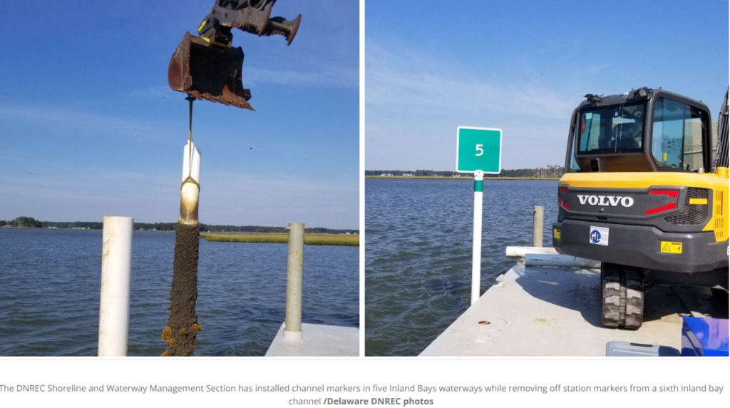
The Department of Natural Resources and Environmental Control announced that the DNREC Shoreline and Waterway Management Section has begun channel marker installation and maintenance activities on five major boating waters in Delaware’s Inland Bays. DNREC’s intent, while weather dependent, is to complete channel marking and related maintenance ahead of the Memorial Day weekend so boaters can get underway on the traditional start of their season.
While some smaller portions of the project could extend into early June, the Shoreline and Waterway Management Section within the DNREC Division of Watershed Stewardship aims to bring five channel marking jobs to fruition ahead of the holiday weekend. All these efforts will address navigation safety concerns, replace missing aids to navigation, and restore channel marking functionality in several state waterways impacted by storms and shifting conditions over the last year.
The impacted channels and the work ahead for DNREC include:
- Lower Indian River: Installation of nine channel markers has been completed
- Roy Creek: Installation of seven channel markers
- Whites Creek: Replacement of six channel markers is underway to address an active navigation hazard.
- Beach Cove: Replacement of 12 channel markers
- The Ditch: Relocation and installation of 10 channel markers
“DNREC appreciates the public’s patience as these important waterway safety and channel maintenance activities are completed,” Shoreline and Waterway Management Section Administrator Josh Lippert said. “Boaters are encouraged to use caution in affected areas and monitor applicable Notices to Mariners issued by the U.S. Coast Guard during ongoing operations.”
DNREC also determined that floating markers within another Inland Bays waterway – Baker’s Channel, with funding and support from a non-profit organization – present a potential navigation concern. More than half the markers are missing, and the remaining markers are off station and no longer accurately reflect navigable conditions. As a result, the Shoreline and Waterway Section intends to remove the remaining off-station markers within Baker’s Channel and does not intend to replace them at this time due to current operational and staffing challenges.
DNREC’s review also found that Baker’s Channel was not established as a formal state-maintained navigational channel and a 2011 partnership for markers there is no longer is in force. Nearby Massey’s Ditch remains the recognized and actively maintained state navigation route for the area.