
The Camden County Office of Emergency Management declared that Camden County will be under a Code Blue Advisory from for the following dates and times due to projected dangerously low temperatures by the National Weather Service:
- Monday, March 16, 7:00 p.m. – Tuesday, March 17, 7:00 a.m.
- Projected temperature: 31°F
- Tuesday, March 17, 7:00 p.m. – Wednesday, March 18, 7:00 a.m.
- Projected temperature: 26°F
- Wednesday, March 18, 7:00 p.m. – Thursday, March 19, 7:00 a.m.
- Projected temperature: 29°F
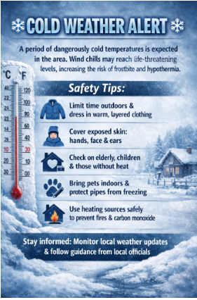
Code Blue Advisories are declared when the National Weather Service predicts that the temperature is 32 degrees Fahrenheit or lower, or the wind chill temperature will be zero degrees Fahrenheit or lower for a period of two hours or more.
“As temperatures fall to dangerously low levels, it is critical that our residents have access to a safe place to stay warm,” said Commissioner Jonathan Young, liaison to the Camden County Department of Public Safety. “We urge everyone to check in on vulnerable neighbors, ensure heating systems are working properly, and bring pets indoors.”
Continue reading “Camden County Office of Emergency Management Issues “Code Blue””