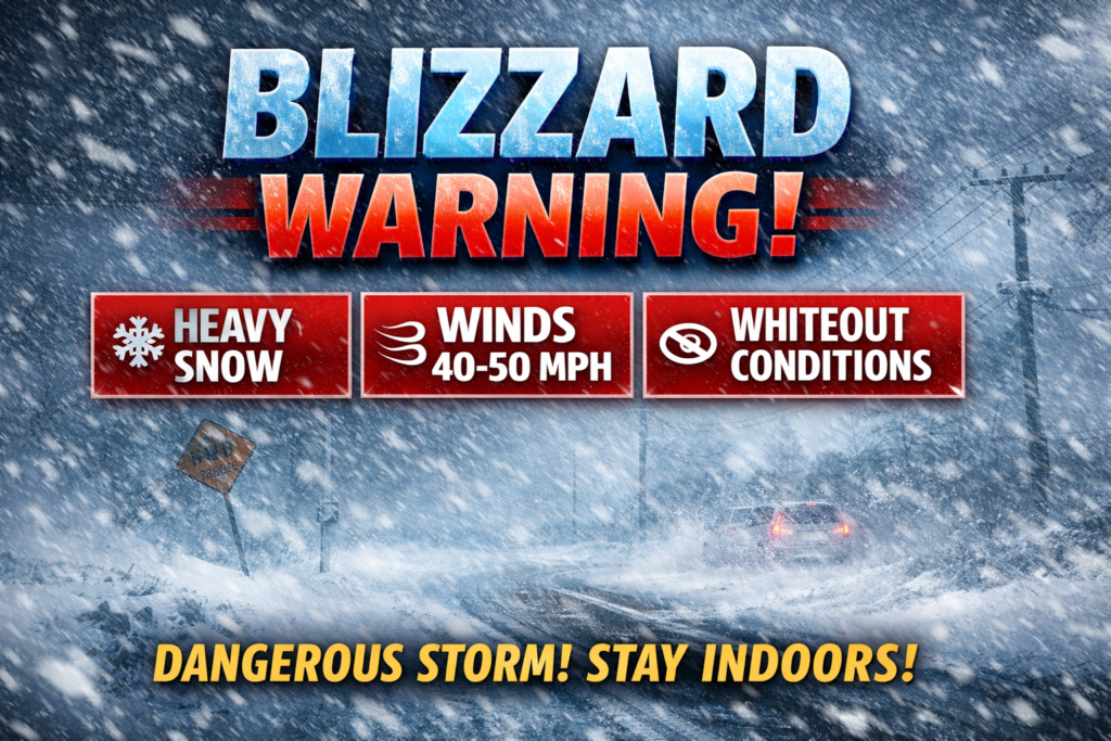
SNOW- We’re either getting a bunch of it or a little bit of it here in Gloucester Township, so get ready and be prepared:
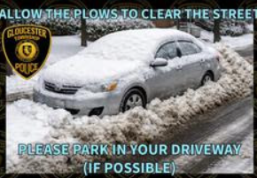
REMOVE ALL PARKED VEHICLES and/ or TRAILERS from the roadways (if possible) so GT Public Works and contractors can plow our streets.
Stay off the roadways during and shortly after the snow stops to allow plow and salt trucks to clear the roadways
If you must drive to work, give yourself extra time to travel safely. Completely clear off ALL the snow from your vehicle, including the roof.
If you live near a fire hydrant, please remove the snow from the front, back and sides of it to allow the fire department to quickly locate them.
If you have an EMERGENCY CALL 911 (anywhere). If you need immediate police assistance in Gloucester Township, Camden County (NOT Gloucester City or towns within Gloucester County), call Gloucester Township Police at 856-228-4500.
If you have any inquiries regarding PLOWING contact the Gloucester Township Public Works Department at 856-228-3144, or email publicworks@glotwp.com , https://glotwp.com/department/public-works/
DO NOT CALL Gloucester Township Police for questions concerning snow plowing, our dispatchers must remain available to receive EMERGENCY and police related calls for service.
As always, remember to Stay SAFE! – Gloucester Township Police
Like this:
Like Loading...